As usual, Google has come out with something revolutionary. Previous a company called Keynote had released some software that would allow one to see the Earth and zoom in on locations using satelite imagery. Google has taken over and released
Google Earth Now you no longer have to pay for the service. In addition, its been enchanced with optional overlays of geopolitical data including: railroads/roads, restuarants, gas stations, banks, postal codes, congressional districts, and crime data to name a few. Unfortuently only the darker areas can be zoomed in really closely. They haven't gotten more accurate image data from Starkville yet.

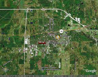
I think I can see my house from here!

This was about as close to Starkville as I could get without the image becoming blurry.

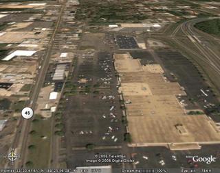
Columbus on the other hand I could zoom in close enough to see individual cars. This is the Leigh Mall.
Also, if you have some free time to kill, check out
Google Moon.


